012 Swinging in the Rain
There's going to be a short break in the rainstorm that hit last night, so we decided to walk while we had the chance.
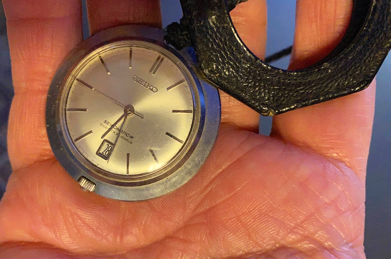
As the title implies, today I am carrying a watch on a chain; a Pocket Watch. It isn't waterproof but should be safe in my pocket.
In order to avoid walking in mud, we went to Liberty Station. This is a re-purposed military installation, built just after the first World War. It was the Naval Training Center (NTC) from 1923-1997. Many thousands of sailors from my generation and earlier were trained here. And if you know Abbott and Costello's movie "You're in the Navy", you have seen NTC/Liberty Station.


Now we are looking along the long axis of the central field or LEFT on the map. This is where troops marched for 60+ years. I have been in Pt. Loma for 55 years... ouch!
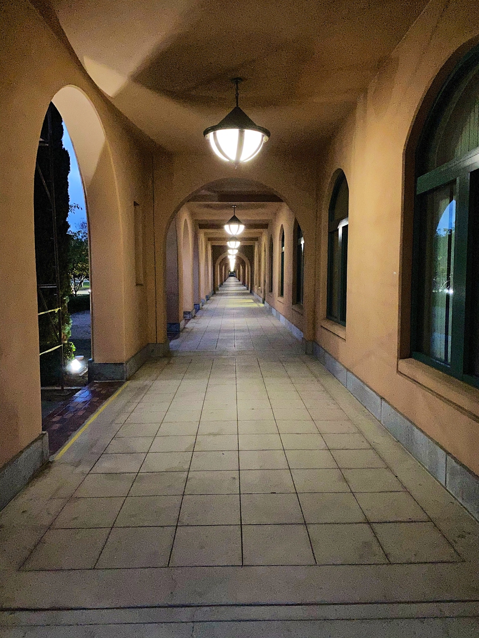
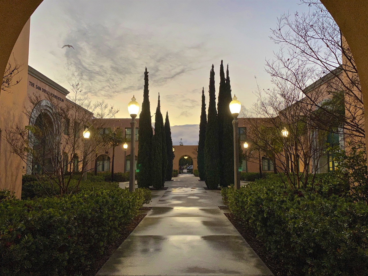
And the same view, but under the side archways. I don't believe you could construct such a consistent and symmetrical facility today. Function triumphs over form now; it was not the same a century ago in the military.
Looking through an archway towards the water.
Looking through the next archway towards the water. The angle of view is the same but the actual view is different due to plantings, trees, birds.
Now we are at the other end, looking back (RIGHT on the map) under a flock of seagulls. Notice the sky coming alive.

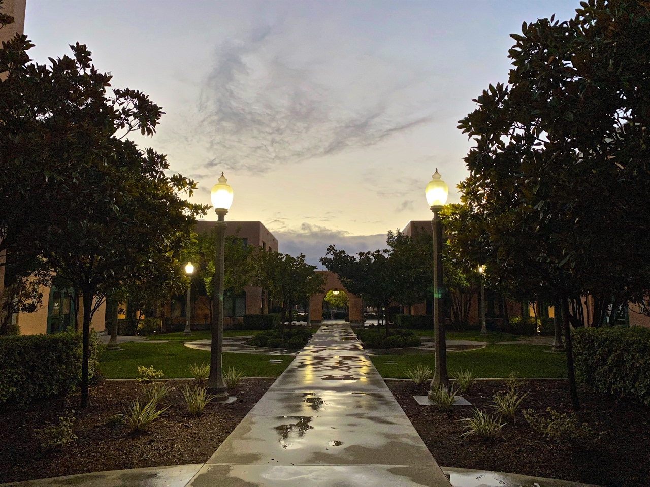
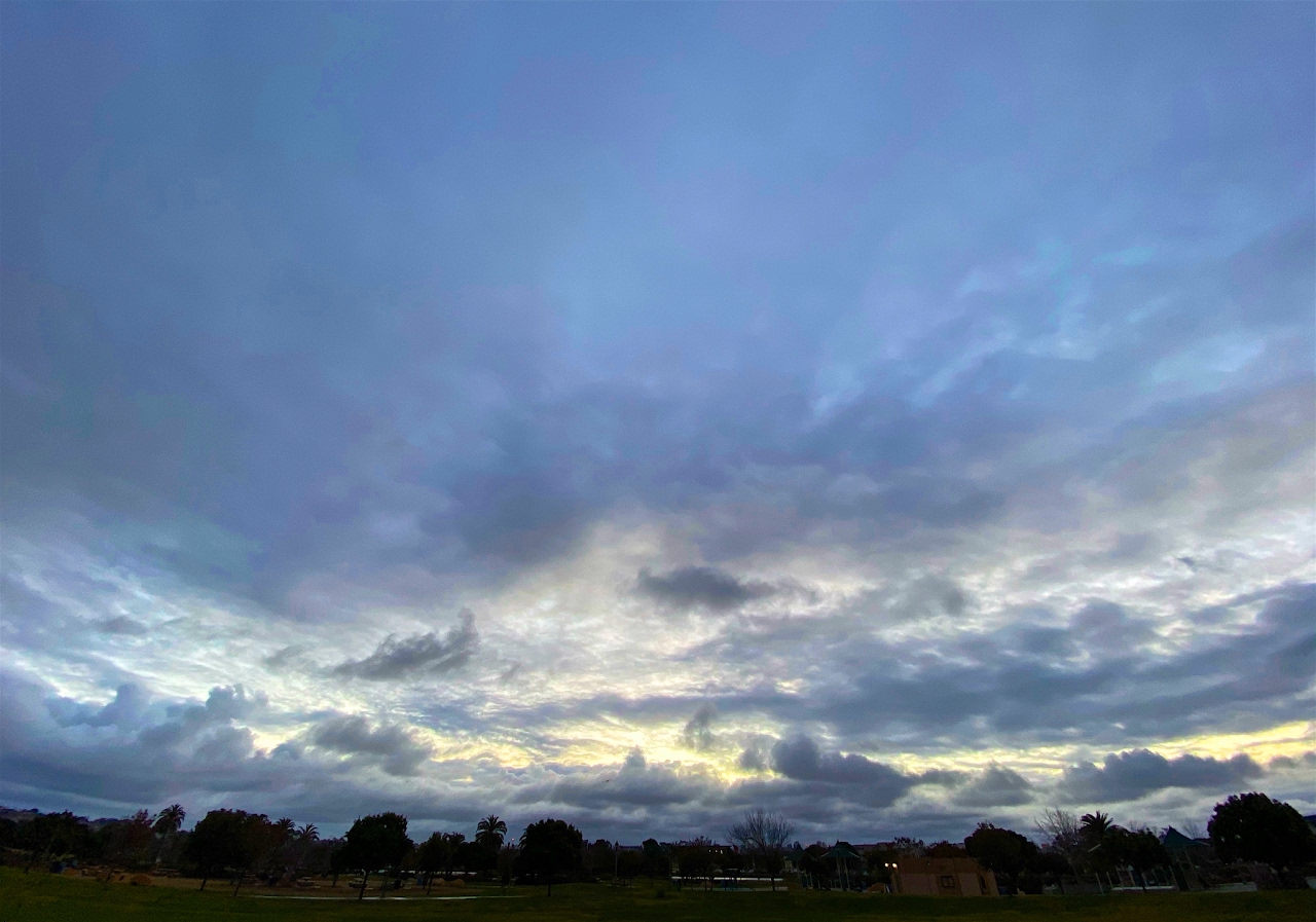
We got away from the buildings and over to the park for a clear perspective of the eastern sky.
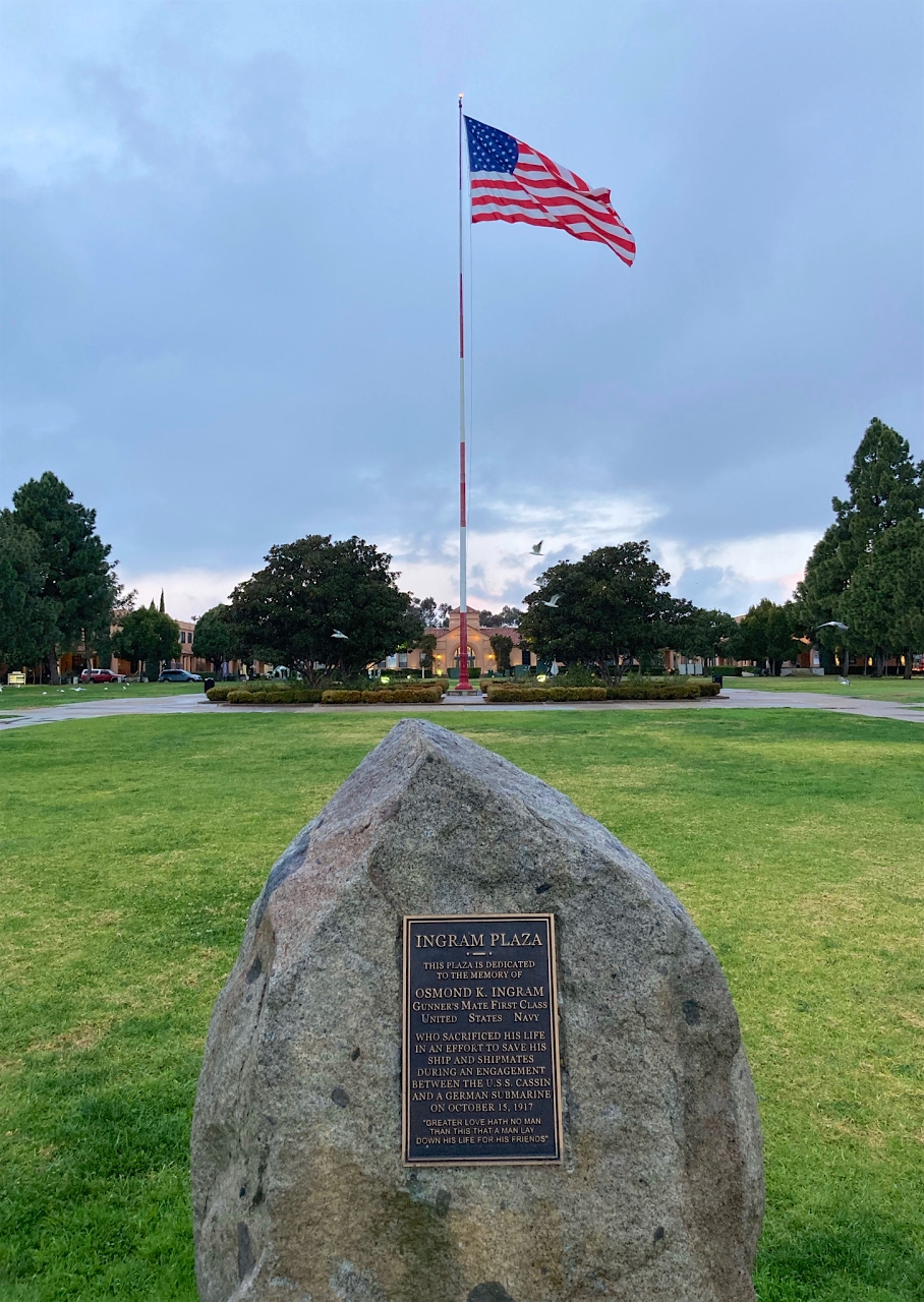
Some guns to remind us why this place was built,
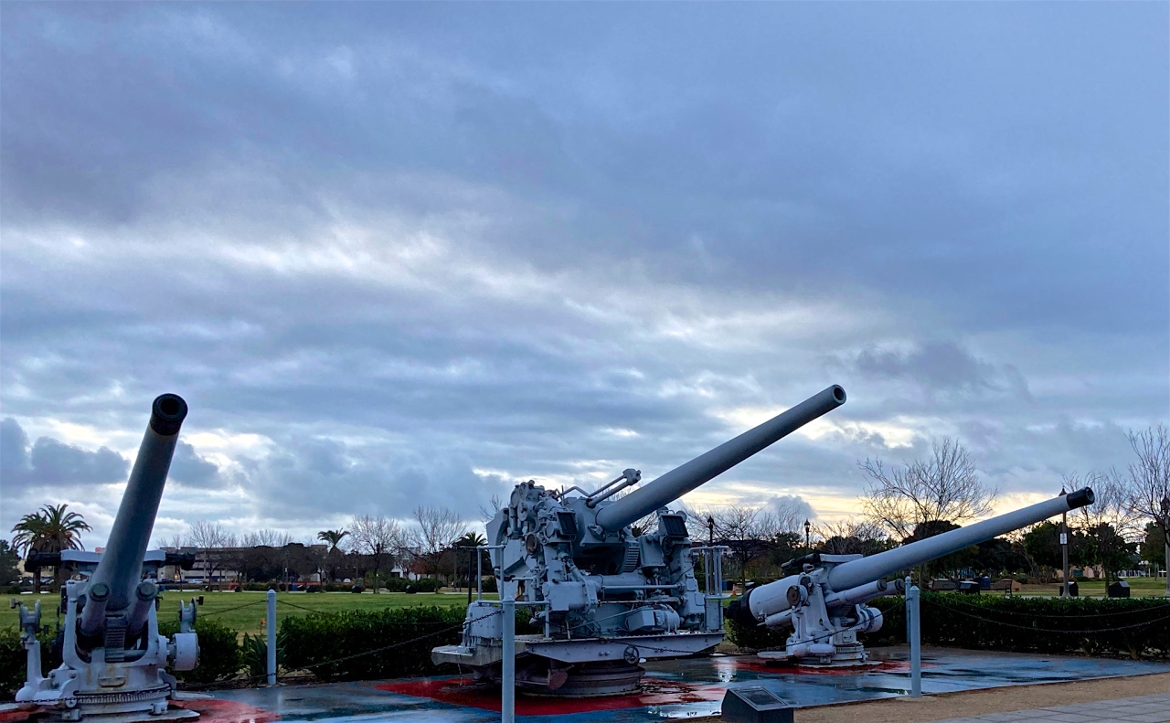
what men did here,
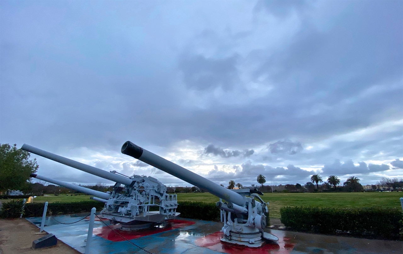
and the price of Liberty.
Notice on the map that the streets in Liberty Station are laid out in alignment with the channel and NOT with North, South or the surrounding streets. Typical of the Navy to focus on the water, not the land... The green area is now public parkland, the red zone is public housing (condos and apartments) and the blue area is military housing and facilities. The rest was given over to commercial use of various sorts, almost all operating within the existing structures which have been preserved for their historical interest.
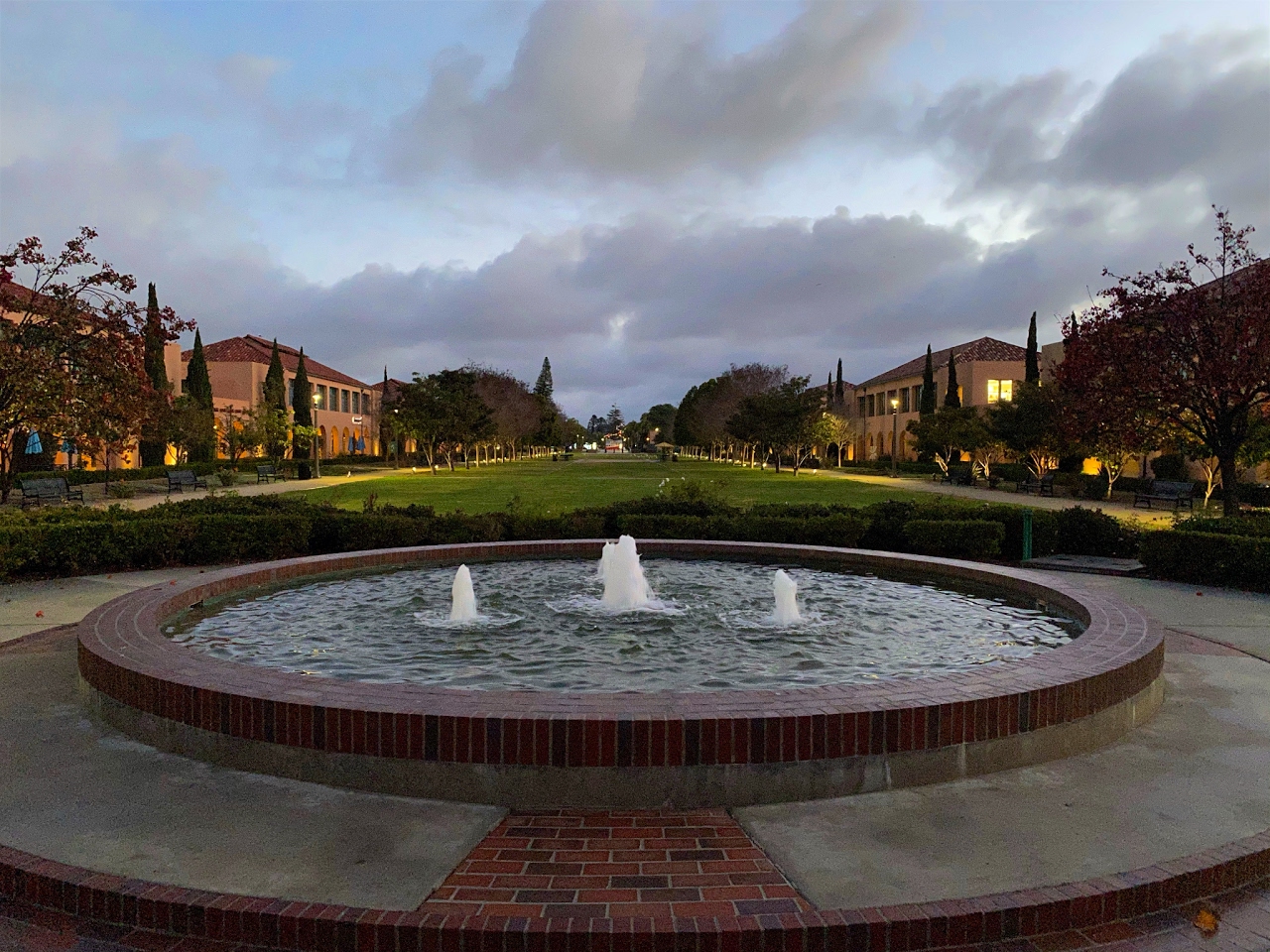
Let's start walking! The photo below shows is a fountain in the commercial zone, and I am facing towards the water, which is UP on the map above.
Now we are looking along the long axis of the central field or LEFT on the map. This is where troops marched for 60+ years. I have been in Pt. Loma for 55 years... ouch!
And the same view, but under the side archways. I don't believe you could construct such a consistent and symmetrical facility today. Function triumphs over form now; it was not the same a century ago in the military.
Looking through an archway towards the water.
Looking through the next archway towards the water. The angle of view is the same but the actual view is different due to plantings, trees, birds.
Now we are at the other end, looking back (RIGHT on the map) under a flock of seagulls. Notice the sky coming alive.
We got away from the buildings and over to the park for a clear perspective of the eastern sky.
Some guns to remind us why this place was built,
what men did here,
and the price of Liberty.
This being California in the winter, there are still flowers in bloom.

Like this lonely rose ...

Lonely, but perfect!

Like this lonely rose ...
Lonely, but perfect!
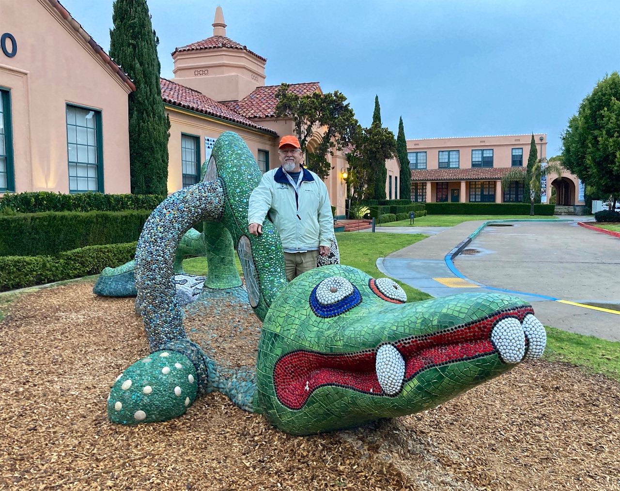
A dragon temporarily on loan here while its permanent home in Balboa Park is being renovated.

I wanted to climb up on it but I also didn't want to get wet (it was dripping).
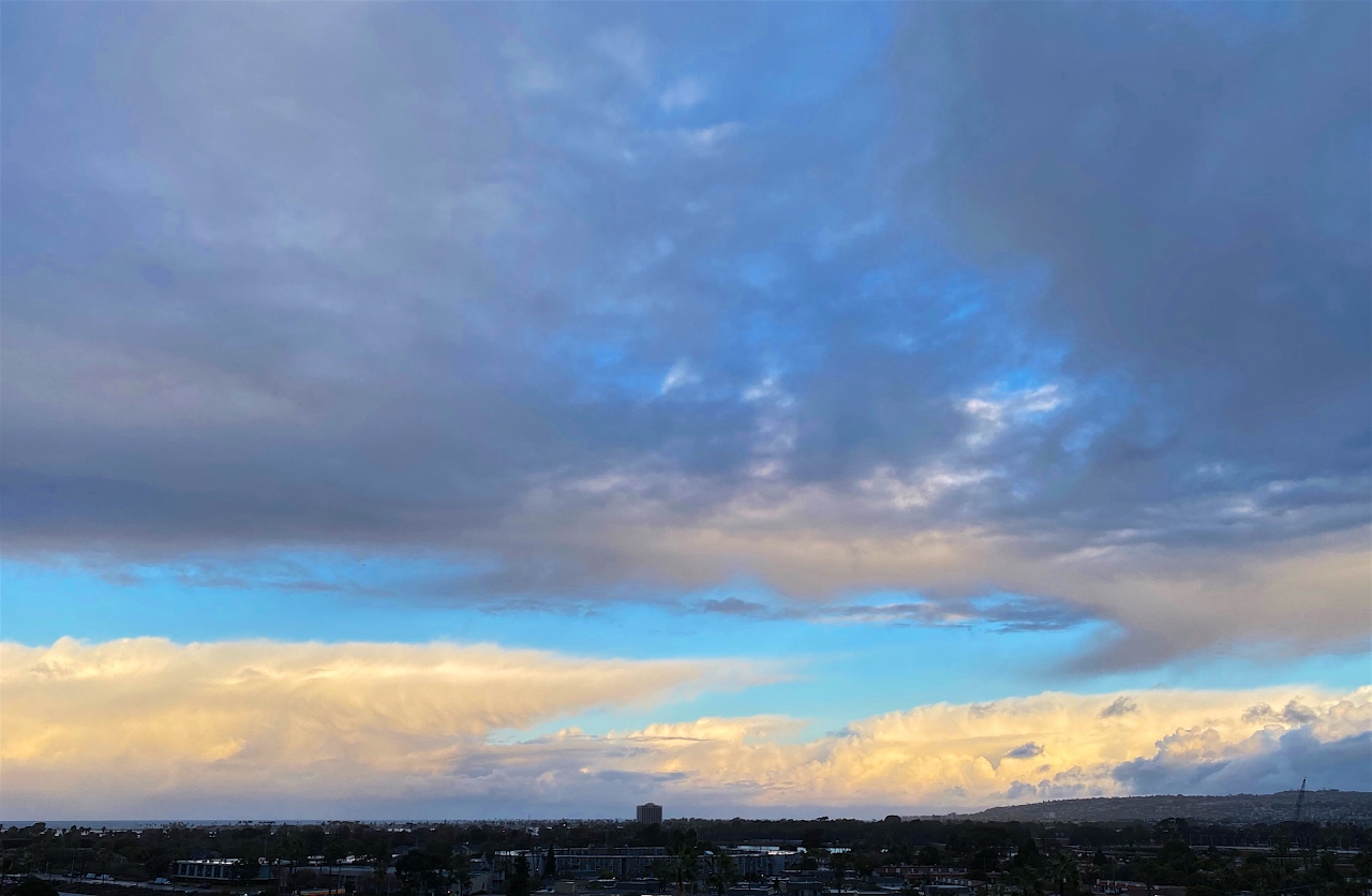
As we headed home after our walk the skies to the west began to light up, while overhead it was quite dark.
Thanks for reading!
I wanted to climb up on it but I also didn't want to get wet (it was dripping).
As we headed home after our walk the skies to the west began to light up, while overhead it was quite dark.
Thanks for reading!


Comments
Post a Comment